Middlesex Canal Dam and Locks
Middlesex Canal Dam and Locks
| Address | Faulkner Street |
| MACRIS ID | BIL.900 |
| Built | 1708 |
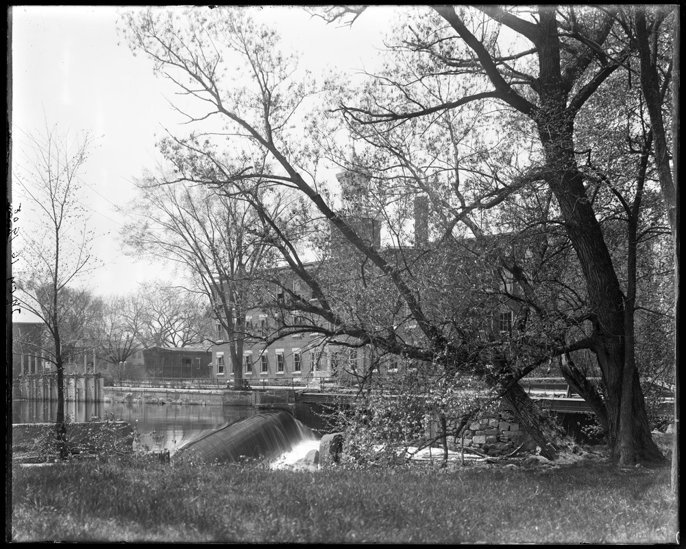
In 1708, Christopher Osgood received a land grant of approximately 40 acres on the west bank of the Concord River in Billerica. In return, he committed to constructing a milldam to provide power for a grist mill, which would grind grain for the local citizens. By 1711, the dam was completed, and the mill was operational. Roger Toothaker, owning land opposite the dam, was the first to receive relief from flowage, obtaining land in another section of the town. However, farmers upstream in Concord and Sudbury faced challenges as attempts to remove the dam through legal actions failed.
The original milldam, strategically navigating natural obstacles, facilitated Osgood's expansion to include a sawmill. William Chandler's attempt to establish a nearby fulling mill, though, proved unsuccessful. After Osgood's death in 1739, various enterprises emerged along the riverbanks. The mill privilege was eventually sold and divided. By 1784, entrepreneur Thomas Richardson had consolidated most of the privilege, selling it, along with the dam and water rights, to the Middlesex Canal Proprietors in 1794. These rights were crucial for the Canal Company, using the dam to divert Concord River waters into the Canal.
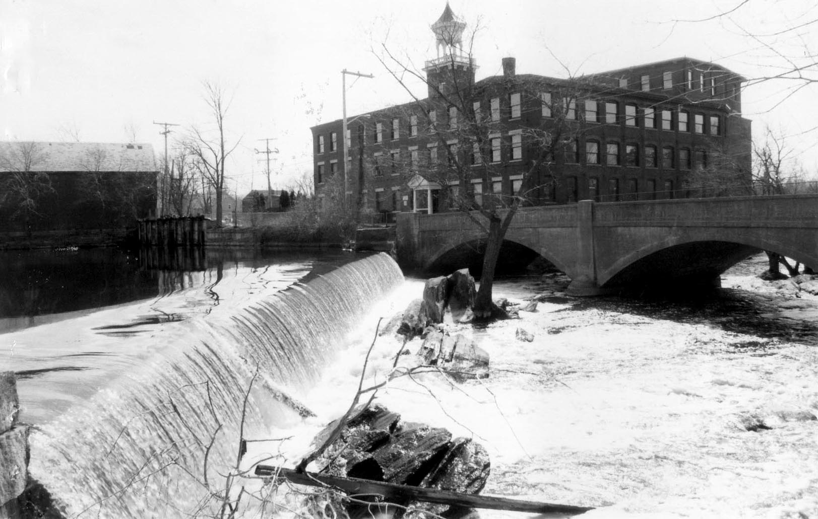
In 1798, Osgood's dam faced issues, prompting the Proprietors, led by engineer Loammi Baldwin, to construct a new wooden box dam filled and tightened with gravel. By 1828, this structure proved inadequate, leading to the construction of a masonry dam that largely remains today. With the rise of the railroad, the Canal Company began to decline. In 1851, the Talbot brothers acquired the property and mill privilege, successfully defending their right to maintain the dam against upstream farmers. Despite initial doubts, the Talbots established the Faulkner Woolen Mills and Talbot Woolen Mills, dominating North Billerica until the mid-20th century. The Town revoked the obligation to grind grain in 1864.
In the 1960s, CRT Corporation purchased the Talbot property, currently holding the mill privilege and maintaining the dam. The mill buildings are now subdivided and tenant-occupied, while the Faulkner Mills on the opposite shore closed in the 1980s, with the buildings currently vacant.
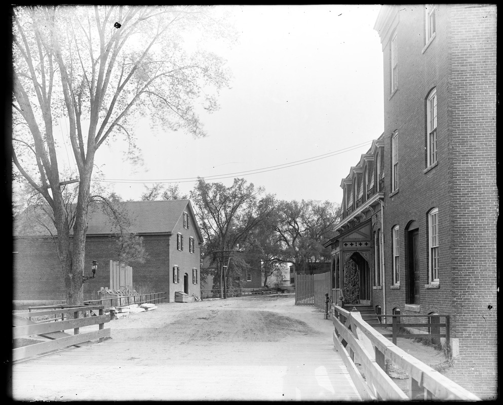
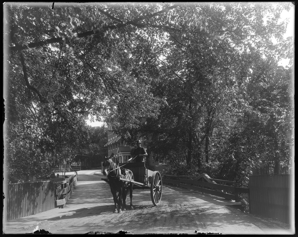
The Faulkner Street Bridge (MACRIS BIL.935) crosses the Concord River at the falls just below the dam, between the Talbot Mills on the west bank and the Faulkner Mills on the east. The street was called Elm Street until the 1920s. A crossing here probably dates from the first mill dam, which Christopher Osgood finished about 1711, and a bridge is shown at this place on Samuel Whiting's 1794 map of the town.
In 1901 the town found it "imperative to practically rebuild" the bridges over the river near the Talbot dam. The bridge of that time had two heavy wooden trusses, each running from a bank to a granite pier, with the middle of the river crossed over a solid wall of stonework that turned the water from the falls around the piers. By 1910 the selectmen had posted signs against heavy trucking. On March 26, 1910 Town Meeting appointed a committee of Joseph F. Talbot of the Talbot Mills, Warren A. Evans of the Faulkner Mills and Harry W. Essex, the highway surveyor, to plan a new "bridge below the Falls." The county engineer, Francis H. Kendall, found the old bridge "unsafe for traffic except for lightly loaded wagons." The engineer J. R. Worcester proposed a two-span reinforced concrete bridge 30 feet wide and 102 feet long, founded on "solid ledge," with the town's 10-inch water main laid inside it instead of hung on the truss. The Faulkner Manufacturing Company agreed to take down its brick storehouse at the northeast end of the bridge for $1,500, so that the road could take an easier curve.
A special Town Meeting on August 2, 1910 voted 95 to 0 to borrow $9,000. On August 8 the committee signed a contract for $5,877 with the Hanscom Construction Company of Boston, which also kept up a temporary bridge during the work. The two 48-foot arches were finished by the end of the year, except for the sidewalk and the macadam surface, and the total cost reported in 1911 was $7,977.05. The bridge is a two-span filled-spandrel concrete arch about 106 feet long, built on a curve with curving faces and a 13-degree skew. It is a contributing structure in the Billerica Mills Historic District (National Register, 1983). The town added a guard rail in 1963 and repaired the structure in 1992. In the 2020s, studies for removing the Talbot Mills dam found that removal would not change the water level at the bridge.
References
- MACRIS BIL.900
- Annual Report 1901: the bridges over the Concord River near the Talbot dam practically rebuilt
- Annual Report 1910: committee appointed March 26, 1910 for a new bridge below the Falls
- Annual Report 1910: committee report on the Faulkner Street bridge (Kendall and J. R. Worcester)
- Annual Report 1910: Special Town Meeting of Aug. 2, 1910 votes to borrow $9,000, 95 to 0
- Annual Report 1910: Hanscom Construction Co. contract and cost of the concrete bridge
- Annual Report 1992: Public Works repairs the structure of Faulkner Bridge
- Billerica Public Library glass negative: wooden bridge, North Billerica, Aug. 12, 1910
- NMCOG: Talbot Mills, supplemental information (description of the Faulkner Street bridge)